An Overview of Geofencing and Routing in MyGeotab
Routing & Geofencing in MyGeotab GPS Fleet Management Software
A geofence is a virtual perimeter (or fence) around a geographical real-world area of interest. Geofencing allows users to draw virtual perimeters around places of work, gas stations, customers’ sites, homes, entire states, airports and more. It can also be a critical component for analyzing fleet behavior when combined with notifications and exception reporting. There are multiple benefits that can be gained through making use of geofencing, some of which include:
- Increasing productivity
- Establishing driver accountability
- Tracking high value assets
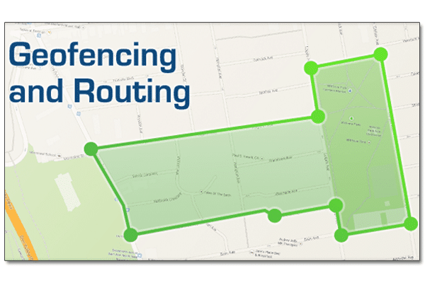
Geofencing within MyGeotab
GPS Fleet Management Software
In the MyGeotab software, provided by Geotab and GoFleet, geofences are referred to as zones and the software provides easy-to-use tools for the user to create them. It is not necessary to be tech-savvy in order to understand how to create zones within MyGeotab. Also, you can create a large number of zones at once by importing a bulk list of latitude and longitude information prepared through a spreadsheet application, such as Microsoft Excel, or by defining the boundaries of the zone through the map.

- Send an email when drivers leave or arrive in a certain zone
- Alert drivers who have left a certain zone early with an in-vehicle sound
- When a delivery truck is about to arrive a notification sent to a shipping department
- Notify managers if a driver has entered an unauthorized zone
- Notify managers if a driver is spending too much time in a certain zone
- Special cases of zone use with MyGeotab
Exception reporting in the MyGeotab GPS fleet management software is usually used to report when a vehicle is breaking a rule and may not typically be related to zones. The fact that MyGeotab has the ability to combine regular exception reporting with zones allows for some uniquely useful scenarios. Take a look at the following examples:
Example 1:
An oil and gas company located in Australia normally has to send their fleets to the outskirts of town to work on different projects. Most places these fleets need to go are off-roads and may not have speed limits. What this company has done with MyGeotab is create speed limit zones in these areas so that the fleet manager gets a notification if a driver is surpassing a certain speed. This allows fleet managers to create their own custom speed limits and to help ensure the safety of the drivers.
Example 2:
A taxi company located in Nova Scotia has combined the use of zones with auxiliaries. The company has attached auxiliaries to the taxi fare meters so that they are able to receive reports through MyGeotab whenever the fare meters are in use. In addition, the taxi company has placed different zones in the area where the taxi company operates. As a result, the company is able to receive reports on what areas their taxis are picking up customers and they are able to gain useful insight into where to allocate their taxis to get the most business.
Routing within MyGeotab
MyGeotab GPS fleet management software allows for the option to create routes based on zone locations. Some benefits that result from routing include increased organization operational efficiencies as well as reduced fuel consumption, mileage and CO2 emissions. Users can create a zone in the software by connecting a sequence of zones together to create a path. The routes can be defined in any order the user wishes, and can alternatively begin and end at the same zone. Further to this, MyGeotab software offers users the option to optimize the order of zones in which the driver should visit once the route has been created in an effort to minimize fuel consumption. Routing is especially useful for fleets consisting of school buses, for example, because these vehicles have predefined locations they visit everyday.
For a more detailed look at how to create zones within the MyGeotab GPS fleet management software, check out this video tutorial:
Creating & Adding New Zones in MyGeotab
For more information on how zones and routing could potentially increase the productivity of your business, contact a fleet consultant today.
Original Article Written by: Dominic Loong, Technical Support Engineer at Geotab
http://www.geotab.com/blog/overview-geofencing-routing-mygeotab/