GPS Used To Enhance Experience At Cuyahoga Valley National Park
Cuyahoga Valley National Park Uses GPS To Enhance Experience
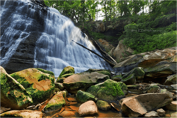
According to Cleveland.com, Cuyahoga Valley National Park will soon use GPS to provide a virtual park ranger on visitors’ smartphones. Researchers at Kent State University have received a National Science Foundation grant in the amount of $952,000. This grant is to be used to create a free mobile application for the park with many interactive features including information about the park’s history, geology, scientific park features, and habitat.
Park visitors will be able to log in anonymously and provide valuable information to the park scientists and rangers to help them learn more about Cuyahoga Valley National Park’s ecosystem. They will also be able to save specific information about their park experiences. Visitors will be able to easily interact with the park staff from the convenience of their mobile device. The park staff will also be able to see the visitor’s exact location via GPS in the event they need help.
There are other mobile applications with information about the national and local parks; however, none of them have nearly as much detail as the proposed application. It is more of an augmented reality then a virtual tour. It provides many tools that will enhance the visitors’ experience. The prototype should be ready within 6 months and the application should be fully functioning within a year. The application could eventually be used by parks around the world after they build the databases of content.
As part of this project, funding will also be provided to Cuyahoga Valley National Park for 2 seasonal employees that will help implement and test the new mobile application using GPS data. The users will be surveyed to find out what they learned, their interests and their attitude on personal learning. There are over 2.5 million people who visit the Cuyahoga Valley National Park each year. The visitors make approximately 11,000 requests for information about park resources and wildlife. The new app should reduce the number of requests because visitors will have all the information at their fingertips.