The Future of Mapping with Geotab and OpenStreetMap
In the GPS fleet tracking (telematics) industry, having a comprehensive and up to date map is crucial. It serves as a tool that provides easy to understand visualization of real world data. There are many companies currently providing good mapping solutions – however, they do not always offer the most affordable options. It was only a matter of time before a free, open collaborative mapping project was born. OpenStreetMap was first created in 2004 and the number of contributors has grown to over 1.5 million as of April 2014.
How OpenStreetMap (OSM) Works
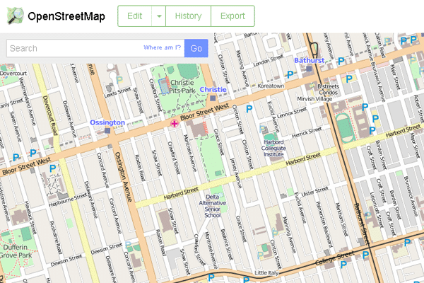
OpenStreetMap works similarly to Wikipedia, anyone can make an account and start making changes. It’s human nature to need things to be complete, when we notice a road or our favorite hiking trail is missing we want to add it in. As the number of map contributors grow, OpenStreeMap will become the most up-to-date map available. Just take a look at the detail that the community of mappers put into the downtown Toronto, Ontario, Canada area:

A map is not just a picture anymore, it has evolved to be a much more detailed tool. There is much more to a road than where it starts and ends; it has a speed limit, road type, number of lanes, direction of traffic and so on. These details are not always going to remain the same either, they often change at a very fast rate. As new building are put up , stores and locations change, walking trails may be cut, new roads are built, speed limits are changed, the map will need an update. At this rate how can a map provider possibly keep its data up to date? The only answer is open collaboration.
Geotab, GoFleet’s provider, is one of the many companies that has invested in the OpenStreetMap project. Their most recent donation has allowed the project to release a world wide address layer, big news to companies currently paying for this service from other map providers. Geotab would like OpenStreetMap to be the biggest map set out there which is why (like other big companies) they are giving back to the project any way they can.

A new feature in MyGeotab, Geotab’s web application GoFleet uses, allows administrators and supervisors to select and edit road speed data in real time. This data will “override” the speed data for a particular road which will then be instantly applied allowing any vehicle driving down that road to be ‘dinged’ for speeding at the new value. While allowing for flexibility, Geotab has a system that prevents this from being abused. Periodically these “overrides” are donated to the OpenStreetMap community of mappers to use as a reference. They validate that the speed is correct and add it into the project, after all these are complete Geotab will clear the “override” data and use the newly verified OpenStreetMap data.
Speeding rules are becoming increasingly important to organizations, and with the ongoing improvements to posted road speed data on OpenStreetMap, we believe this is one step closer to perfection. Geotab will continue to support the mapping community and we are looking forward to seeing this project continue to grow.
Original Article From Geotab: The Future of Mapping