How Crowdsourcing Tools are Building More Powerful Maps
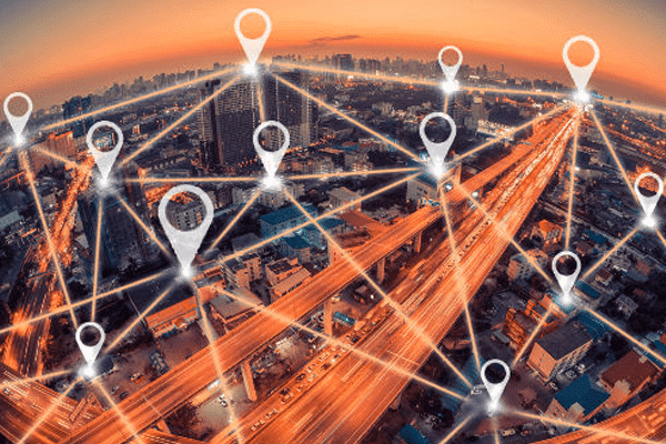
These days most people are constantly followed by GPS wherever they go, whether the tracker is in a phone or installed in a vehicle. This, of course, creates some privacy concerns, but if used correctly the GPS data can also create amazing maps.
Volkswagen and Mobileye Combine Efforts
Some of these efforts are aimed at making money. For example, vehicle manufacturer Volkswagen announced a partnership earlier this year with Mobileye, a company that develops technology for computer vision, machine learning, data analysis, localization, and mapping. Mobileye’s main product is a mapping service called Road Experience Management, and it will be installed in all new Volkswagen vehicles starting in 2018. The devices will collect real-time data on road conditions that is aimed at giving autonomous vehicles more information to help them better navigate the road.
The Road Experience Management devices have front-facing cameras that collect information on things like lane markings and sign placement, and that data is then used to update maps. Eventually, Mobileye hopes that virtually all vehicles on the road will be collecting this type of data and that will create incredibly accurate maps built on passive uploads from everyday drivers. Autonomous cars rely on redundancy created by maps. They have sensors looking forward to ensure a clear path but they are also simultaneously reviewing map data to make sure the path forward is expected to be clear. If a map is outdated, perhaps by not showing a road closure, then the sensors on the car become the only thing telling the car that it needs to stop and the redundancy is gone. Crowdsourced data can improve both the underlying maps for autonomous car purposes and also provide a stream of road condition information, like updates on traffic congestion, that can be used for drivers today.
Nonprofit Crowdsourced Maps
Crowdsourced maps are not all about making money, though. OpenStreetMap is a nonprofit organization made up of a community of mappers who built an open source map that allows people from around the world to add information about roads, trails, cafes, railway stations and more. Anyone is free to use the map for any purpose so long as it is appropriately credited. Financial support to make it possible has come mostly from a number of universities and technology companies. Another example is Missing Maps, a nonprofit built on OpenStreetMap that uses crowdsourcing to map out roads and other features in vulnerable places in the developing world so that aid workers can respond better to crises.
Geotab Helps You Find Fuel
Hundreds of thousands of Geotab devices are on the road collecting GPS and other data every day. One particularly interesting piece of data that many Geotab users collect is fuel fill-up information. Geotab collects this anonymized data on about 60,000 fillups each day and can correlate that information with GPS coordinates. This data can help mapping services to locate fuel fill-up stations that have not already been incorporated into their maps. It can also help companies tinker with their fill-up policies to allow drivers to spend the shortest amount of time possible at the station.